
Arches
Close sandstone forms, windows, fins, Delicate Arch, Devils Garden, and one busy park road.
Arches, Canyonlands, river miles, slickrock trails, four-wheel-drive roads, and scenic corridors
Pick the landscape first, then the mileage. Arches, Island in the Sky, the Needles, river trips, bike systems, and technical roads require different starts, skills, vehicles, and weather checks.
Close sandstone forms, windows, fins, Delicate Arch, Devils Garden, and one busy park road.
Mesa Arch, Green River Overlook, and immense canyon scale above the rivers; Grand View Point has a weekday construction closure through October 1, 2026.
Longer approach, backcountry feel, colorful spires, and hikes that take a full day.
Scenic floats, guided rafting, paddle choices, and flow-dependent conditions along the river corridor.
Practice loops, classic Slickrock, Navajo Rocks, and Bar M choices that vary sharply by skill and heat.
Sand Flats, Gemini Bridges, Shafer-area roads, and permitted routes where vehicle and recovery judgment matter.

Park geography
Island in the Sky is the closest developed district to Moab. The Needles lies far south on a separate approach. The Maze is remote backcountry. Rivers divide the park, so lines that look close on a map can require hours of road travel.
Trail effort
Distances below are planning references, not condition reports. Confirm the current National Park Service (NPS) or Bureau of Land Management (BLM) page, carry water, and turn around when heat, lightning, ice, route-finding, or exposure changes the outing.
Arches National Park
A compact formation cluster for mixed groups, with full sun and heavy traffic during the busiest hours.
Arches National Park
Start early in warm weather, carry water, and keep clear of the final exposed ledge if ice, wind, or comfort level says no.
Devils Garden, Arches
A useful Devils Garden objective for visitors who do not want the primitive loop's fins, route-finding, and longer mileage.
Island in the Sky
The famous rim window needs little mileage; pair it with overlooks and another rim trail rather than treating it as the entire district.
Island in the Sky
Through October 1, 2026, the overlook, trail, and final road segment are closed Monday through Thursday for construction. Friday through Sunday access remains open with limited parking; use Green River Overlook or other open Island in the Sky stops on closed weekdays.
Bureau of Land Management land off UT-279
This Bureau of Land Management hike lies outside the national parks, but its exposed slickrock still requires an early warm-weather start and adequate water.
Bookable experiences
Compare guided river, four-wheel-drive, climbing, canyoneering, and sightseeing options. Confirm pickup, minimum age, physical requirements, cancellation terms, and exact route directly.
Compare current availability, prices, cancellation terms, and departure details on Viator.
Browse Viator →GetYourGuide activities
Browse tours and activity options that fit this trip.
Second Star gear guide
National Park Day Pack Guide
Trailhead packing list
Water, weather layers, trail comfort, binoculars, and the practical pieces that make overlooks and short hikes easier.
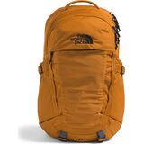
Daypacks & Packs
$86.93
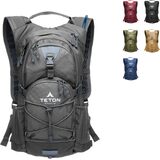
Hydration Packs
$47.99
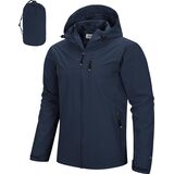
Packable Rain Jackets
$56.99

Official resources
Arches has no timed-entry reservation requirement in 2026, but entrance waits still occur. Current fire restrictions, road conditions, flash-flood risk, river flow, and seasonal operations can change the useful plan.